| Id: |
1471 |
| Name: |
Troll's Toll |
| Drop-Type: |
USB drop |
| Size: |
8 GB |
| Date Created: |
2013-12-26 |
| Address: |
1798 Roosevelt St., Falls Church Virginia, US |
| Coordinates: |
38.88390 N 77.15480 W |
| Permalink: |
www.deaddrops.com/db/?page=view&id=1471 |
| Overview |
Medium distance |
Closeup |
 |  |  |
|
|
| Status was set to unconfirmed, may be broken on 2022-04-20 03:58:04 (UTC) |
 |
|
|
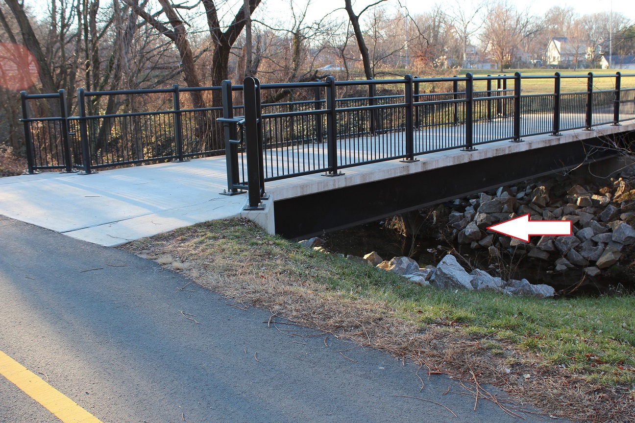
| Located under a foot bridge along the Washington and Old Dominion bike trail. The nearby hill is nicknamed "Skinhead Mountain" due to the racist graffiti that often appears in the drainage tunnels that carry the stream under highway 66. |
|
|